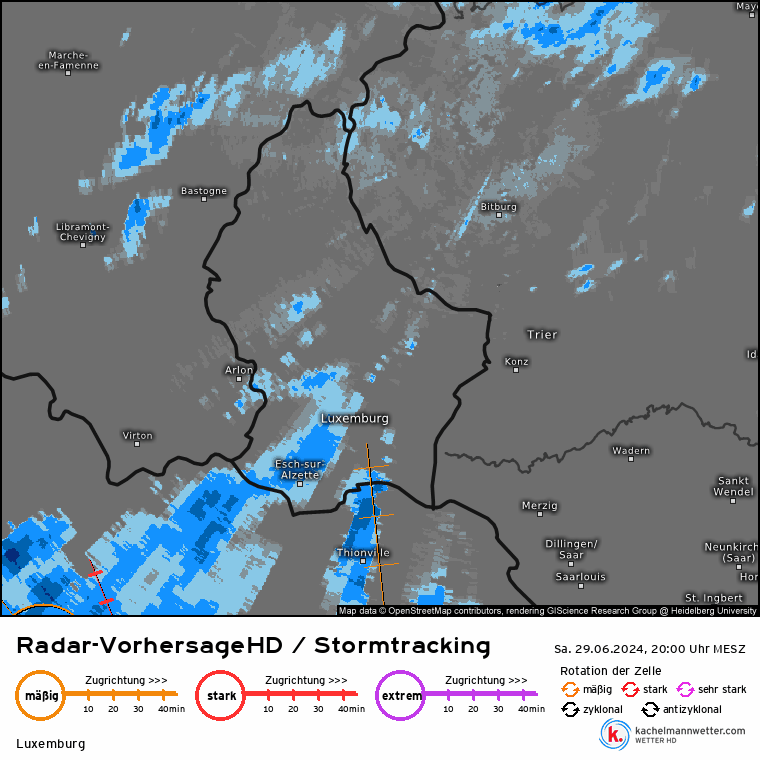
At any rate, a so-called "downburst" had been observed north of Ettelbruck. Storms travelled across Luxembourg, virtually splitting the country in half. As can be observed on meteorological maps, it is quite possible that a tornado ripped through the Ettelbruck area.
To verify whether a tornado was responsible for the damage, on-site analysis of the damage or review of video material would be necessary, according to the meteorologist, as verification isn't possible otherwise.
Although some data from weather stations is missing, available information indicates that 30-40 litres of rain per square metre fell in the southwest of the country.
Locally, this number could be even higher. Unfortunately, no stations can back up this information with exact numbers, but radar measured up to 70 mm locally.
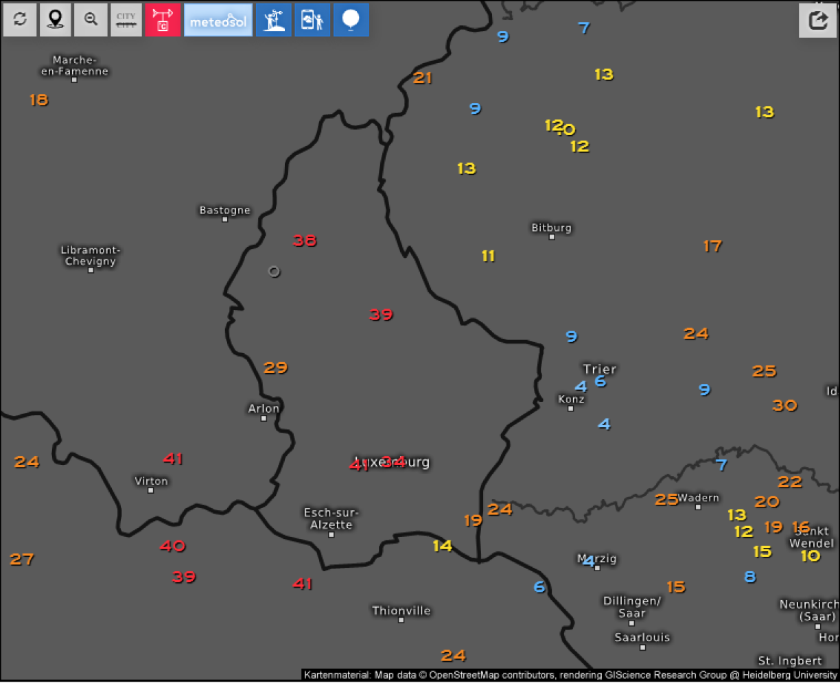
Meteorologist Lars Dahlstrom assumes that wind speeds of up to 120 km/h were recorded.
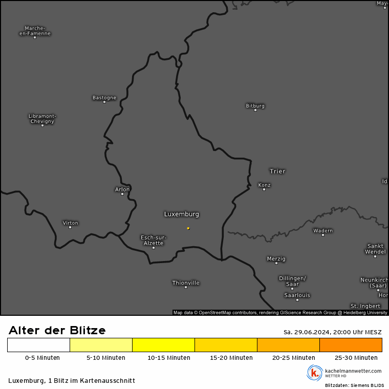
Lightning strikes were observed across the storm areas throughout the evening. This map from Kachelmannwetter details the lightning strikes on Saturday evening. While the exact number is uncertain, it is estimated that there were likely between 5,000 and 7,000 strikes registered.
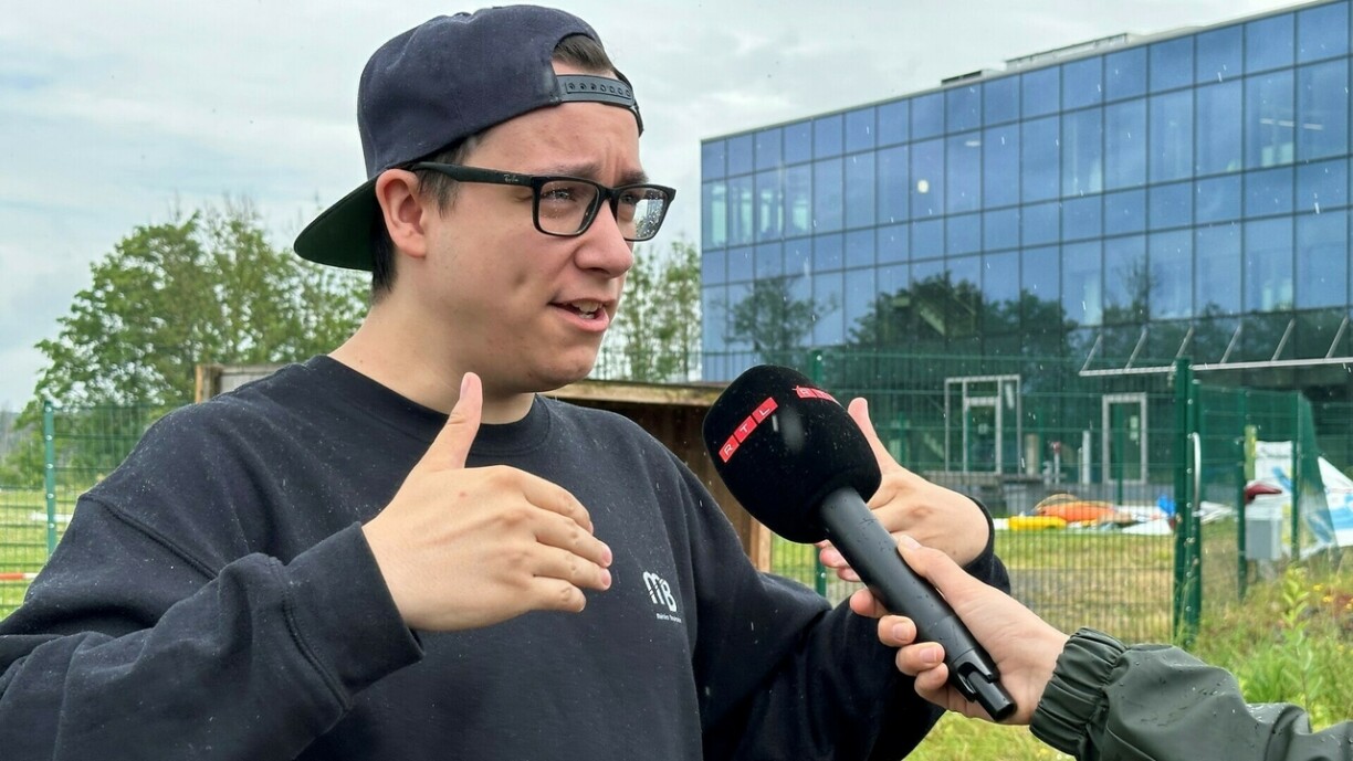
In addition to the expert from Kachelmannwetter, we also consulted Philippe Ernzer from Météo Boulaide for his assessment of the weather phenomenon from Saturday evening.
Philippe Ernzer explains: "Yesterday, a significant thunderstorm passed over the country. Essentially, two smaller storm segments merged precisely over Luxembourg, forming a line as they moved across the country. This type of formation is known as a 'Bow-Echo.' Bow-Echoes are typically associated with strong storm surges, potentially even reaching hurricane-force winds. The storm moved from the southwest towards the north and northeast, meaning almost everyone in the country experienced some aspect of it, with varying degrees of impact from water and wind."
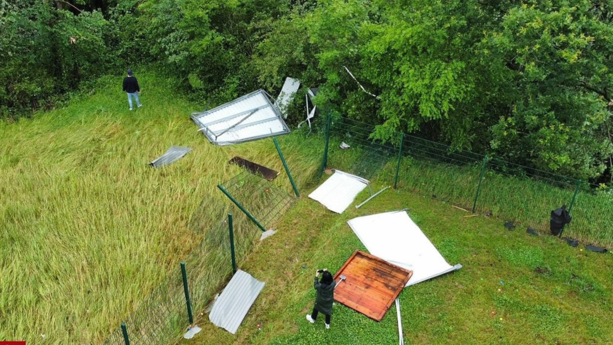
Photos have been published showing significant damage, raising the question of whether a tornado might have caused it, particularly in areas like Biwer.
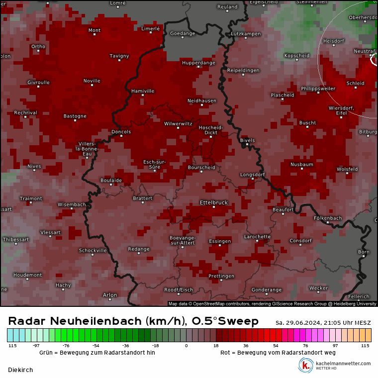
Ernzer commented on the radar observations: "From the radar, we have observed signals of very localised rotation activity. This is typical for such Bow-Echo instances - a lot of dynamics take place, and it's not uncommon to see rotation on radar. Whether this has any effect on the ground is another question. In other places, there were stronger rotation signatures. I can't specifically talk about the Biwer area right now as I'm not there to observe what's happened, but in another signature that was observed, the rotation was localised more towards Bissen, towards Feulen, meaning in that area."
Ernzer also used a drone to look for signs of a possible tornado in the area.
"We might find convergent wind patterns on the ground," he said. "For example in fields, we could see blades of grass bent to the right while others are bent to the left, which would indicate a tornado had passed through the area."
Hobby meteorologist Sven Rock measured winds of up to 104 km/h at his weather station in Sinz, Germany. However, his devices suffered as a result of the storm, as he discovered they were damaged when he inspected the station on Sunday morning.


The rain gauge funnel was pulled out by the wind, and Rock will need to check if the sensors still function. If not, this could prove expensive to fix.


