Since such events are often accompanied by severe damages to both human infrastructures and the environment, it is important to develop early warning systems.
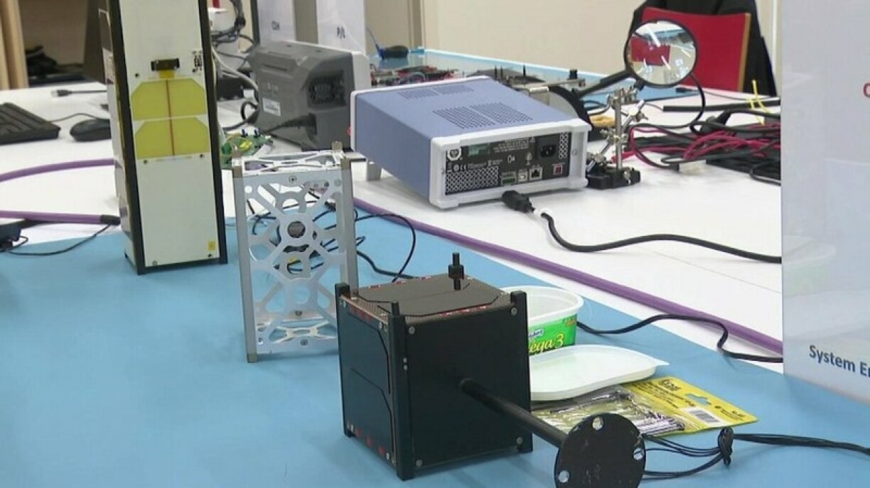
At the University of Luxembourg in Kirchberg, a new satellite system for analysing flood risks is currently being designed, which could revolutionise weather warning systems globally. Geospatial engineer Dietmar Backes explained: "The system is completely different given that we use smaller satellites, which do not need as much time to record, analyse, and transmit data sets to those in need."
The process thus allows to better coordinate support operations: "For instance, we can provide a detailed overview of an area, identify roads that ca still be used to evacuate people, or calculate in which direction floods are likely to extend."
Although the technology is almost ready for use, the respective hardware is still missing. Researchers at the university hope to have the system up and running at some point next year. The tool of choice will be CubeSat nano satellites, a cost-efficient way of conducting ongoing monitoring operations.


