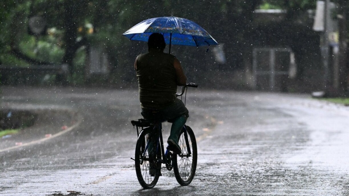
Firwat huet et an de leschte Méint esou vill gereent?
Fabian Ruhnau highlights that since October, our weather has been characterised by a persistent "western weather" pattern. He explains: "The western weather pattern means that the jet stream from the North Atlantic flows directly into Central Europe. This transports low-pressure systems with a lot of rain from the Atlantic towards Central Europe and also towards us in Luxembourg."
The term "jet stream" refers to a powerful wind at altitudes of 9 to 11 kilometers. Notably, this wind doesn't follow a fixed path. "It doesn't always directly pass over Central Europe or Luxembourg but frequently 'meanders' a bit. Picture it as a river with waves, sometimes it shifts more to the North and at other times more to the South."
During its lingering periods over our region, the jet stream brings precipitation that can take varied paths, often downwards. Ruhnau also notes: "The prolonged duration of this weather situation is somewhat unusual, but I would still classify it as a coincidence. Similar situations have occurred in the past years, especially during the winter, with wind, heavy rains, and floods. These occurrences have always happened and were not considered extraordinary."
Adding to the meteorological equation is the fact that this year, the oceans witnessed above-average temperatures, leading to increased evaporation. This contributes to augmented rainfall in the low-pressure areas affecting our region. "Climate change could also be a contributing factor. The western weather patterns, meaning where the weather systems come from the Atlantic to our region, now result in more rainfall than, for instance, 30, 40, or 50 years ago."
In general, it can be said that increased rainfall is a consequence of climate change. However, the extended showers and rainfall patterns in our region for the past couple of months are more likely to be a coincidence.


