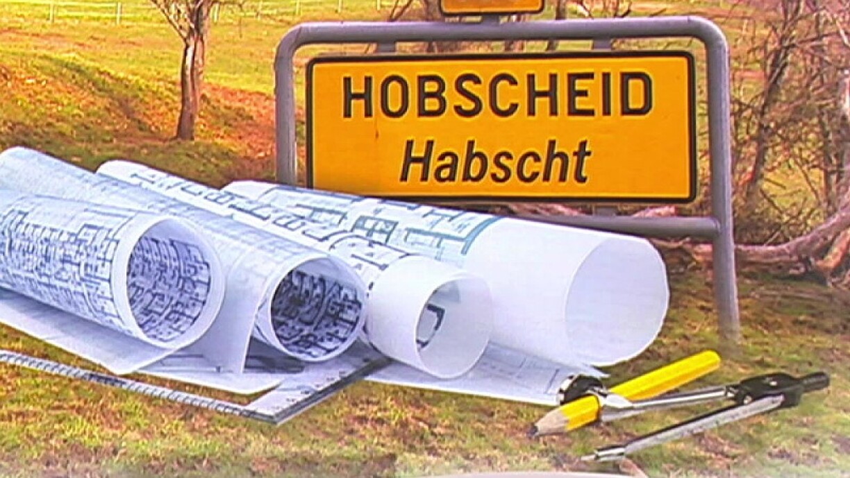
Georges Simon's family owns several plots of land in and around the municipality of Hobscheid, near the Belgian border towards Arlon. For two years, he studied the plans of the PAG (plan d'aménagement general, or general development plan) and when he started to compare the different data sets, he was intrigued by what he found: Part of the family property, about two hectares, would no longer be included in the building perimeter.
As the building perimeter has been enlarged in other places, Simon started to question the reasons behind this decision. In his eyes, his family's land has been downgraded to give better exposure to the land of local politicians and their families. He thinks of two people in particular, who "must have earned as much as my family has lost because of this downgrading of land".
In order to illustrate his suspicions further, Simon cites the concrete example of the orchards, considered in the new PAG as a garden zone. He explains that this is "a compensation measure" because the land just below these orchards has been removed from a biotope protection zone, and this land belongs to the mayor's family. "This is no coincidence", Simon concludes.
Hobscheid Mayor Serge Hoffmann does not understand these criticisms and stresses that objective criteria were applied to reach these decisions and that the identity of the owner had nothing to do with the land's reclassification.
Hoffmann stated that Simon "should know" that some of the land without trees also belongs to them in this sector, which is not considered a garden zone.
It should be noted, the mayor from the Christian Social People's Party (CSV) stressed, that regardless of the classification, it is a "Habitat 1" zone in which it is only permitted to build along the road.
The old PAG of the municipality of Hobscheid dates from the 1970s and was drawn by hand, sometimes with large and inaccurate lines.
It was digitalised by a renowned engineering firm, which followed all the procedures in force during this process without favouring anyone, according to Hoffmann, who said that the old PAG was taken over as it was, with the only exception being occasional extensions of the plan.
The engineering firm confirmed to the municipality that the current plans respect the old PAG thanks to geolocalised referencing.
The two opposing parties will thus have to wait for the legal consequences of this case and their potential repercussions on the new PAG.


