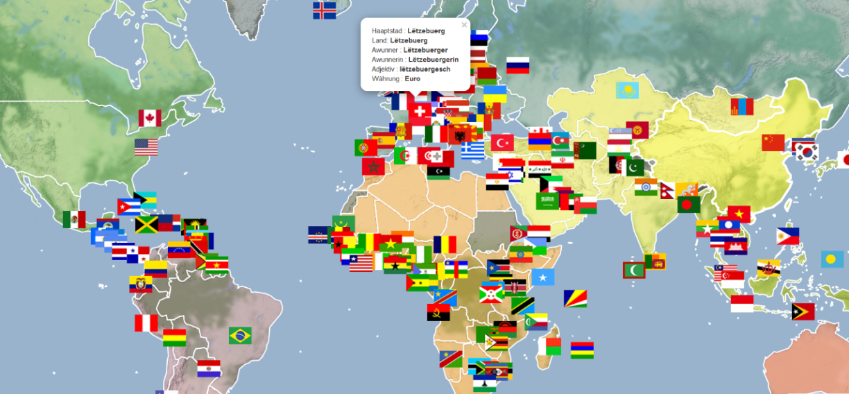
Conceived as a pedagogical tool for children, MapPy provides geographical information about countries that includes their national flag, the name of their capital, or even their currency. Furthermore, the flags are placed on the coordinates where the capitals of the respective counties are located.
MapPy is currently available in six languages: Luxembourgish, German, English, French, Portuguese, and Slovak.
For more information about the web application, please consult this link.
Also.. this tool will come in handy when we launch our Learn Luxembourgish series in a couple of weeks.. so stay tuned for that, and make sure to bookmark the link!

German
![]()
![]()
French
![]()
![]()
Slovak


