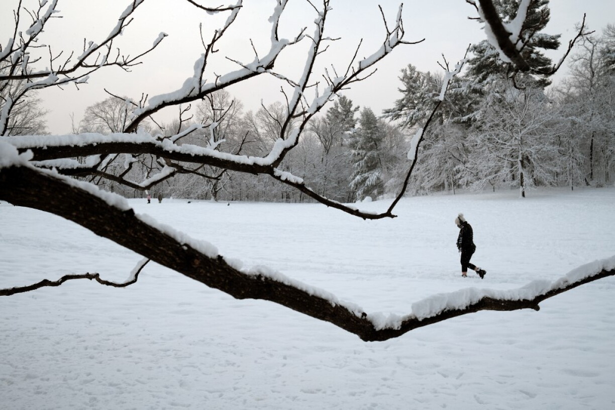
The polar vortex is a large-scale circulation of powerful winds that forms every winter over the Arctic. When it is weakened or disrupted, cold Arctic air can spill southwards into lower latitudes, including Europe, potentially leading to colder conditions than usual.
According to several experts quoted by AFP, this year's disruption stands out because of its unusually early timing.
Such early disturbances have only been documented a handful of times since detailed meteorological records began in the 1950s.
Scientists emphasise that while an early polar vortex disturbance can increase the risk of cold spells in some densely populated areas of the northern hemisphere, it is too soon to tell what this means for temperatures across Europe in the coming weeks.
The situation remains highly uncertain, and researchers caution against making definitive predictions at this stage.
Another important factor this year is the El Niño climate phenomenon, which is currently particularly strong. El Niño typically brings milder weather to some regions of the world and may help offset the effects of a disrupted polar vortex.
France’s national meteorological service, Météo-France, stresses that the impact on Europe is far from clear. The agency notes that the outcome will depend on how the situation evolves in the coming weeks.
Some scenarios anticipate a sharper contrast between northern and southern Europe, with colder weather in the north and milder conditions in the south.
For now, experts agree on at least one point: this early disturbance of the polar vortex is noteworthy and should be closely monitored, yet it does not yet allow for any reliable prediction of a severe winter or significant cold spells in Luxembourg or neighbouring countries.