While some may welcome the sunshine, it’s likely to feel overwhelmingly hot for most people.
The head of Meteolux's meteorological services, Adnan Ceman, explained that although such temperature peaks are relatively uncommon, they’re not entirely unusual. The spike is linked to broader weather conditions across Europe, where many regions are currently facing high temperatures. Scientifically, he attributed the heat to a high-pressure system stalled over Central Europe, which is being trapped between two low-pressure zones to the west and east. This configuration is funnelling warm air masses into the region, causing a noticeable rise in temperatures, he noted.
Over the weekend, night-time temperatures still allowed for some cooling, but that relief is ending. Beginning Monday, overnight lows are expected to remain above 20°C, making it harder to cool indoor spaces. Ceman noted that by early Tuesday or Wednesday, nights might only dip to around 22°C to 24°C, reducing opportunities to ventilate homes and let in cooler air – a challenge especially in buildings where night-time airflow is key to comfort.
The term heatwave is often used in such scenarios, but Ceman pointed out that there is no universal definition, as the threshold varies from country to country. In Luxembourg’s context, he considered it fair to describe the coming days as a minor heatwave, particularly due to the sustained warmth at night.
A change in weather is expected later in the week. Ceman said that the current high-pressure system is forecast to shift eastward, giving way to a low-pressure front arriving from the Atlantic. This transition should bring some cooling, along with potential showers and possibly thunderstorms, as the region receives cooler, more humid air, he explained.
After the hot spell, temperatures should return to seasonal norms, with daytime highs around 25°C and night-time lows near 15°C, according to Ceman. He added that this would once again allow residents to cool their homes naturally, improving general comfort levels.
Looking ahead to the rest of the summer, early modelling points to slightly above-average temperatures overall, according to Ceman. He clarified that this doesn’t necessarily mean a surge in extreme heat, but rather that months like June, July, and August may average on the warmer side. If daytime temperatures remain consistently in the 25°C–30°C range, that alone would classify the month as warmer than normal, he stated.
With the hot weather approaching, health and safety officials are encouraging the public to take precautions. People are advised to drink water regularly throughout the day, avoid outdoor activity during peak heat hours, and keep an eye on vulnerable or elderly individuals who live alone. Pets and farm animals should not be overlooked either – those in open pastures, in particular, will require extra water to stay hydrated during the heat.
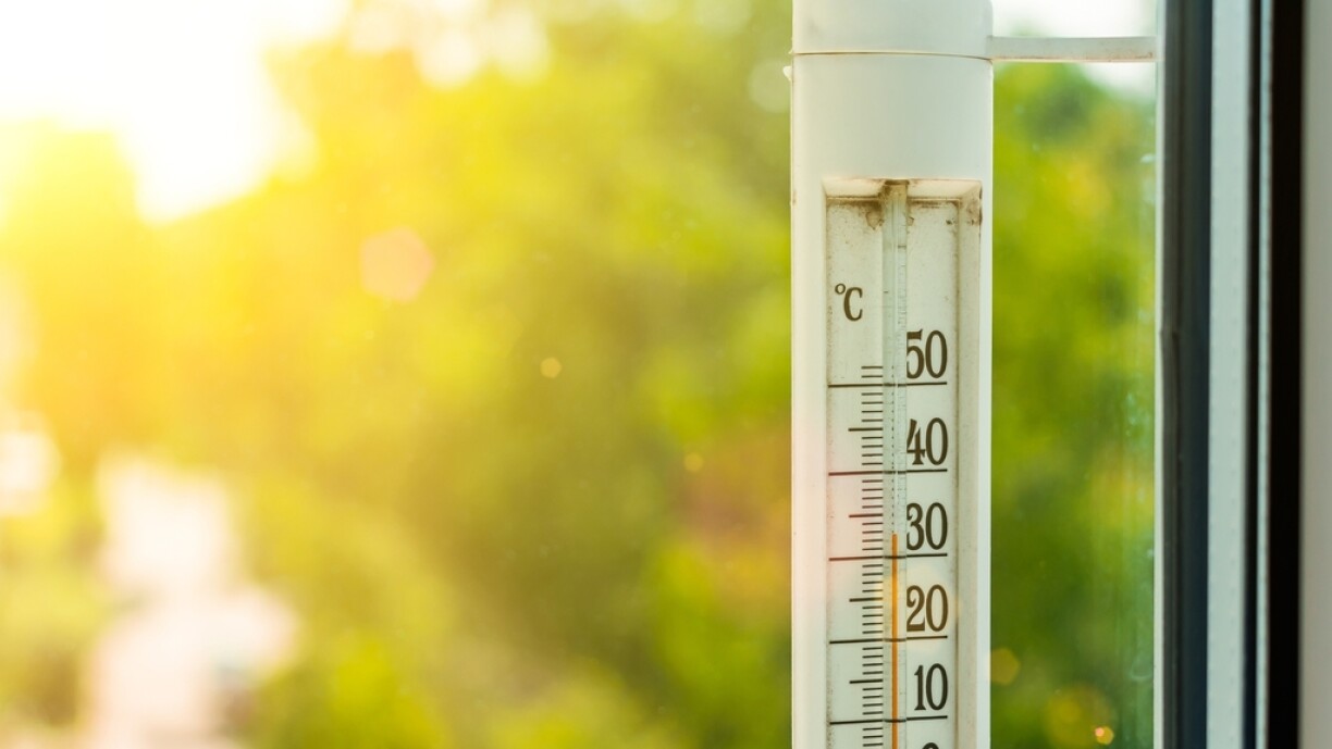
As of Monday morning, Meteolux issued an orange alert for Tuesday between 12pm and 9pm, warning that temperatures could rise between 33°C and 35°C. In addition, a yellow alert is in place for Monday between 1pm and 8pm, with expected highs reaching up to 32°C in some areas.


