There is a saying in Luxembourg that autumn only begins once the Schueberfouer is over, but meteorological autumn already began on Tuesday. It follows a summer that many are likely to remember for its high temperatures – and with good reason.
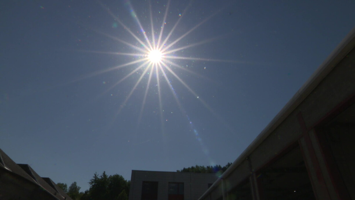
According to public weather service Meteolux, this was the hottest summer ever recorded in Luxembourg.
Weather data has been collected at Findel since 1947, and average temperatures have never been as high over the summer months. The average temperature reached 20.6°C, beating the previous record set in 2003 by 0.1°C.
The difference becomes even more striking when compared with the long-term average, Meteolux meteorologist Luca Mathias explained.
Findel recorded 30 days with maximum temperatures of at least 30°C this summer, compared with an average of just seven between 1991 and 2020, he said: "We are more than four times above that level". Mathias also mentioned that there were also eight days when temperatures reached at least 35°C.
The summer was not only hotter than usual, but also considerably drier. Findel recorded a rainfall deficit of around 80 litres per square metre. Much of the rain that did fall came from localised thunderstorms, meaning some parts of the country were affected by the dry conditions more severely than others.
Asked whether a summer like this remained an exception or was likely to become more common, Mathias said there would always be warmer and cooler years, but summers of this kind were likely to occur more frequently in future.
Forecasting the coming autumn and winter, however, remains much more difficult, according to Mathias. Seasonal weather models tend to point towards warmer-than-average conditions because of the broader climate change signal, but the outlook for rainfall is less clear, he said.
Mathias stated there was currently "no clear trend" for precipitation in the seasonal models. However, with El Niño developing and already strongly active, Meteolux's statistics from the past 40 years at Findel suggest that "the tendency towards a wetter autumn in Luxembourg is greater" during an El Niño event than it is in winter, he explained.
For September, at least, current forecasts point to very little rainfall, Mathias said.
Meteolux also adjusted its extreme heat warning system this summer. An orange alert is now issued only when severe heat stress on the human body is expected for at least two consecutive days, while a red alert requires such conditions to persist for at least three days. The changes are expected to reduce the number of orange and red alerts, although yellow warnings could become more frequent.
Weather warnings do not always meet with universal approval, particularly on social media, but Mathias said such comments do not influence Meteolux's assessments. Meteorological factors are not the only consideration, however.
When conditions approach the orange or red warning threshold, Meteolux consults the High Commission for National Protection (HCPN), the Grand Ducal Fire and Rescue Corps (CGDIS) and, during heatwaves, the health authorities, Mathias explained. Decisions can therefore also take the potential impact on the public into account, he said.
At the end of June, for example, authorities decided to move to a red warning "earlier than would have been necessary from a purely meteorological perspective" because the National Day celebrations increased the potential impact of the heat, he added.
Mathias also explained that during orange and red alerts, Meteolux also works with the other authorities involved to provide the public with advice on how to respond to the conditions. Ideally, such warnings are issued far enough in advance to give people time to prepare and adapt, he said.
You can read the joint weather review by Meteolux, Agrimeteo, and the Water Management Administration here (in French).