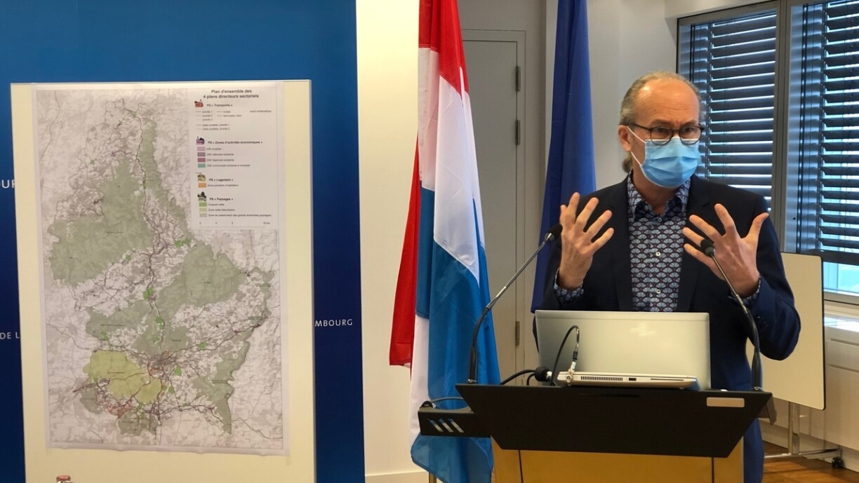
The Minister for Spatial Planning, Claude Turmes, called the plans a decisive step in improving the quality of life and protection of the environment. The four plans set out a list of lands that are reserved for very specific purposes in an effort to minimise the impact on the public and the environment.
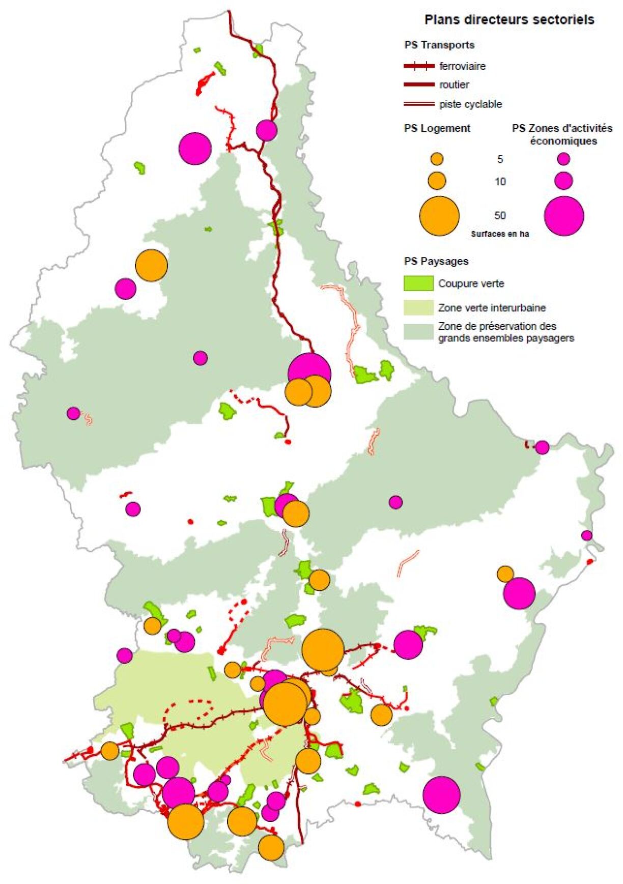
The four sectorial plans cover housing, industrial zones, countryside and transport. The ministry has determined areas that are suitable for sustainable construction. According to Turmes, this ensures that important resources are protected, including wildlife, forests, agricultural land and other areas of public interest.
The minister also said that this covers air and water, but he estimates that soil is the scarcest resource in Luxembourg. The sectorial plans seek for example to promote building on industrial lands, rather than opening construction sites in the green areas.
In Dudelange, Esch and Wiltz one sectorial plan is used to create more affordable housing. From 1 March, 30% of all new housing projects need to be for social housing, as opposed to current rate of 10%. Some 50,000 people could be given housing space of which 15,000 could live in such social housing.
Elsewhere, 455 hectares are reserved for activity zones. Turmes also said he wanted for Communes to work together in developing these.
Regarding transport, the country has been divided into "corridors" to highlight areas where infrastructure projects may be built. According to Turmer, private property owners have thus been notified that their land may one day need to be used and that they could be expropriated.
The fourth sectorial plan seeks to preserve Luxembourg’s nature and landscapes. 46 “green areas” have been determined where no urban development could go ahead. This covers an area of roughly 3,900 hectares, which is 1.5% of Luxembourg’s overall territory.
On geoportail.lu residents can look up what areas are covered by which sectorial plan and whether their own property is concerned.
Efforts to subdivide the country into areas of different purposes dates back to 2003.