Adnan Ceman, director of Météolux, explained the conditions which led to the storm and its potential impact in an interview with RTL.
The relatively uniform weather in recent weeks was largely due to the jet stream moving further south over Europe. Due to the jet stream, low pressure areas lie further south and bring moist air masses over the Atlantic with them, says Ceman.
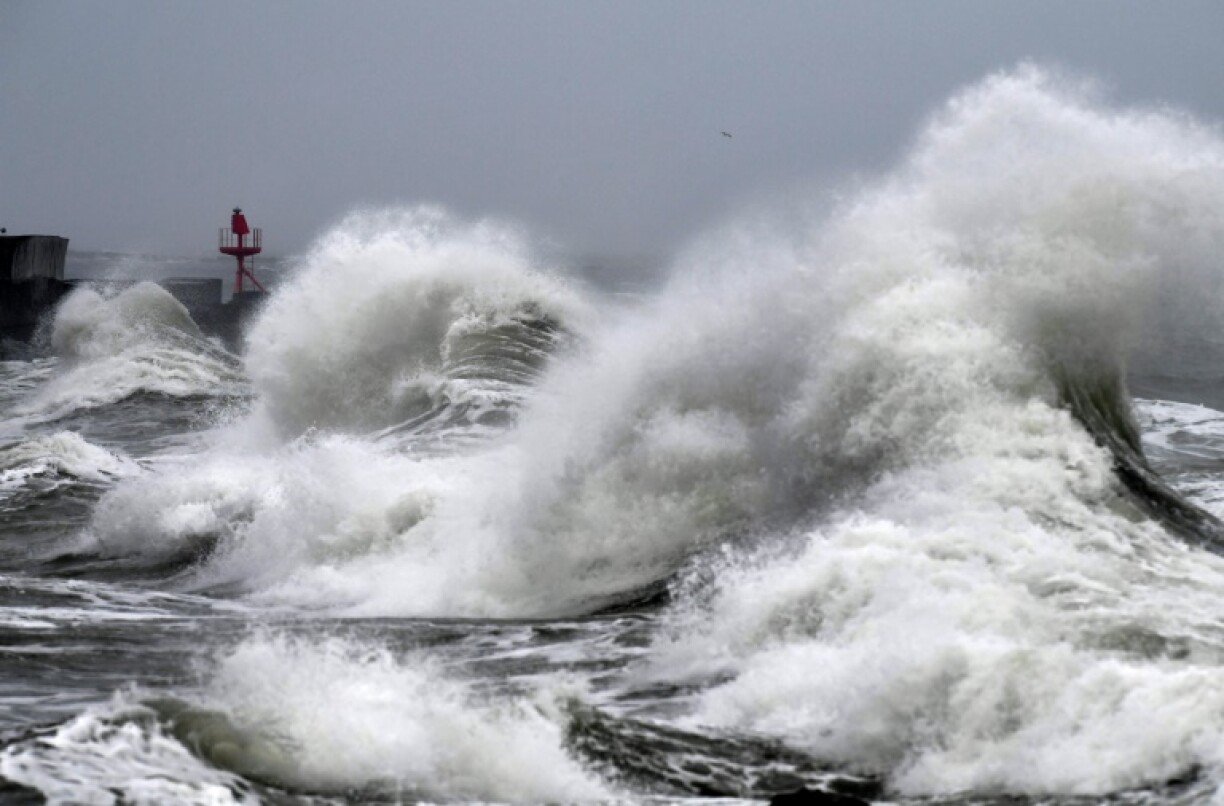
Storm Ciarán originated from a complex of low pressure areas over the Atlantic, lying south of Iceland and west of Great Britain. Due to the relatively deep air pressure in the centre of the storm, the dynamics have been more pronounced, resulting in strong winds.
The storm’s trajectory went south of England, then moved north over the region around London, says Ceman. “Right now it’s starting to ease off, it’s weakening as the air pressure difference is getting smaller.”
Strong winds over 200 km/h are relatively rare, says Ceman, and tend to mainly occur in coastal regions.
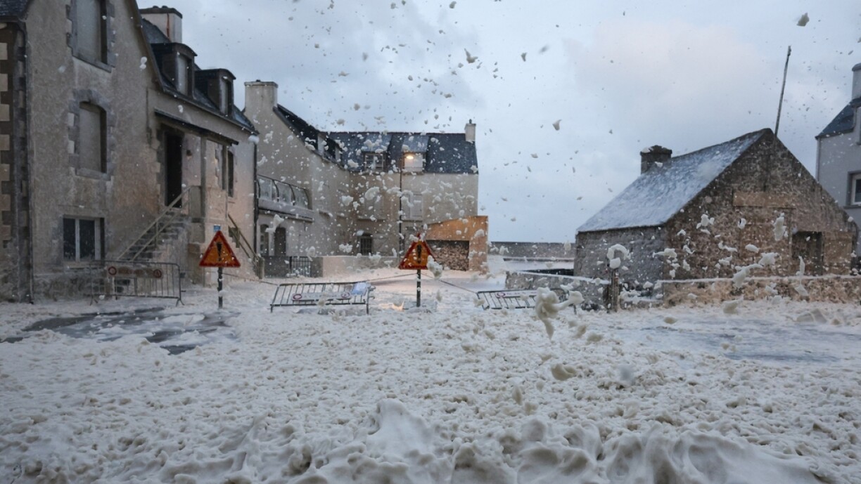
“Due to the topography and subsequent friction on the ground, these storms tend to weaken as soon as they hit land. However, wind gusts of up to 100 km/h can still penetrate as far as Luxembourg and cause a lot of damage, especially as we are not used to such high winds in our region.”
Météolux issued a yellow weather warning for Thursday as a result of the storm.


