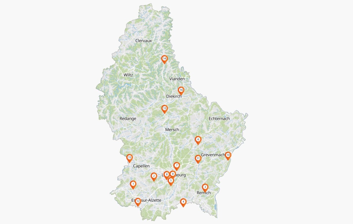
Map of testing stationsHere's where Luxembourg's 16 testing stations are

RTL Today
16 testing stations across Luxembourg are currently open to ensure the government's large-scale testing strategy.
Cliquez sur l'image pour accéder à la carte.
Cliquez sur l’image pour accéder à la carte.
© Guichet.lu

As Luxembourg’s green party has previously highlighted, the majority of testing stations are sprinkled across the centre and the south of Luxembourg. The government argued that the location of the stations was selected based on several criteria such as population density and access.

Originally, 17 testing stations had been opened but the government decided to close the two stations that were the least busy (Steinfort-Windhof and Findel airport). In return, a new testing station was opened near Diekirch in northern Luxembourg.

Luxembourg’s 16 testing stations

  1. Bascharage / Parking Z.I. Bommelscheuer (N5)
  2. Dippach / Grevelsbarrière (N5)
  3. Ersange / Assel (N2/E29)
  4. Frisange P+R (N3)
  5. Howald P+R (CR231)
  6. Junglinster P+R (N11)
  7. Kirchberg P+R Adenauer (CR232)
  8. Luxembourg City P+R Bouillon (B4)
  9. Luxembourg City (Rotondes)
  10. Machtum / Grevenmacher (N10)
  11. Niederanven / Roodt-Syre (N1)
  12. Esch (P+R Arcelor-Mittal, Raemerich)
  13. Schieren (N7)
  14. Hosingen (school and sports centre “Parc Hosingen”)
  15. Steinfort P+R (N6)
  16. Tandel / in direction of “Bleesbréck” (N17)

An interactive map is also available on the Guichet.lu website:

Cliquez sur l'image pour accéder à la carte.
Cliquez sur l’image pour accéder à la carte.
© Guichet.lu

Back to Top
CIM LOGO