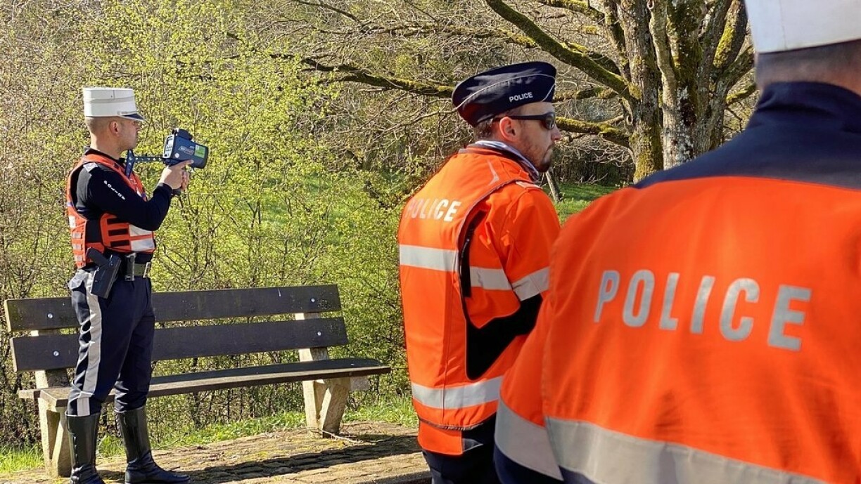
According to the police, municipalities can alert them to specific problem areas, such as spots where speeding or reckless driving is a concern. Reports are logged, analysed, and form part of a strategy that influences future controls.
But the final decision on where traffic checks are carried out is based on several factors. Accident-prone zones and locations deemed particularly hazardous receive priority. Sometimes, police presence is increased in specific areas either as a deterrent or simply to give residents a greater sense of safety.
Navigation apps that notify, or allow users to notify, drivers of police checks – like Waze or Google Maps – are not banned,but there might be a reason to keep them.
While they may seem to help drivers avoid fines by alerting them to speed traps, they also encourage slower driving in those areas. In that sense, they act as unintentional prevention tools – slowing down traffic and promoting safer behaviour, even if temporarily.
The police confirm that prevention remains a key part of their road safety strategy. They regularly publish planned speed checks to raise public awareness, with the goal of reducing accidents and encouraging more responsible driving in the long term.


