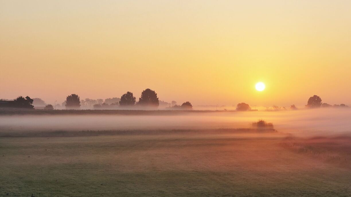
With the mercury dropping below zero at night this week and moderate winds blowing, Luxembourgers are currently waking up to frosty windshields, wet roads, and shaky trees.
While Wednesday and Thursday will remain largely dry, Friday could see minimal snowfall of up to 1cm at higher altitudes. There's a few hours of sunshine each day too to heal the autumn blues – if only temporarily.
On Sunday, however, average temperatures are shooting up from 4°C to 15°C, with five hours of sunshine and dry conditions, national weather agency Meteolux reports. This will feel like the week's grey weather was all just a bad dream.
Luca Mathias, meteorologist at Meteolux, explained the phenomenon: "The cause for this rapid temperature increase on Sunday is a strong low pressure system which moves towards the British isles by Sunday. On its eastern flank in its broad warm sector, the system will direct a subtropical air mass from lower latitudes toward Western and Central Europe."
The chart below shows the air temperature at about 1500 m altitude and the forecasted position of the low pressure system (L) on Sunday 07:00 CET.
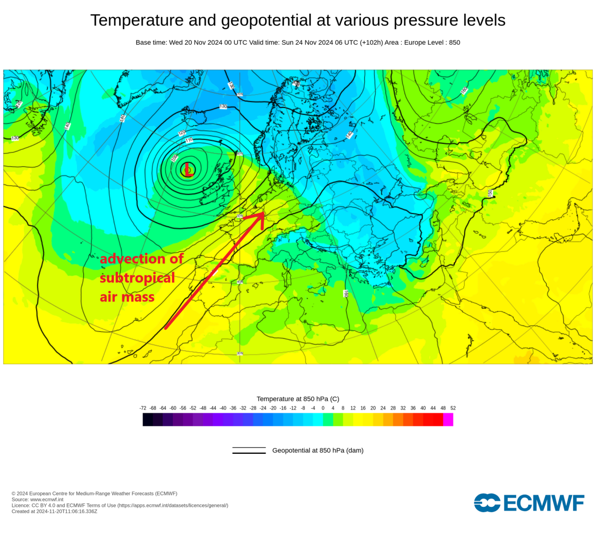
Mathias added: "It actually is a common phenomenon in our latitudes, especially during the cold season when the temperature difference between the subtropical and the polar regions is high, and thus a weather pattern change can lead to such striking temperature jumps."
Moderate gusts of 45-65km/h remain at the end of the week and over the weekend, with stronger rainfall reported to return to the Grand Duchy on Monday.


