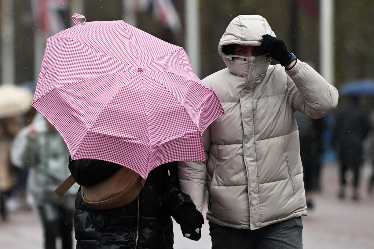
Meteolux issued a rain warning on Thursday that remains in effect until midnight on Friday. Rainfall totals of between 30–40 litres per square metre are expected, with western parts of the country likely to be worst affected.
In addition to the heavy rain, strong to gale-force winds are causing concern. Winds have been blowing since around 2am at speeds of 70 to 80 km/h, with gusts reaching 90 or even 100km/h in some areas.


For the north of the country there is also yellow alert for snowfall between 6pm on Friday until 7am on Saturday, where a maximum of 12cm of snow can be expected.
When questioned by RTL Today, a spokesperson from Meteolux highlighted the fact that "multi-hazard events" are not uncommon but due to the size of our nation these weather phenomena are rare. They also emphasised that although there may be multiple weather alerts, this does not necessarily heighten the overall warning to orange or red "unless one specific hazard crosses the threshold for higher impact".
However, the overall risk may be intensified due to saturated soils (from rainfall) which may lead to more treefall, or reduced visibility a potential higher risk for accidents.
While rain will be the dominant feature across the Gutland region, precipitation is expected to turn to snow later in the day in the Éislek. Localised snowstorms are possible in northern areas.
Temperatures of up to 5°C were recorded nationwide during the morning, but values are expected to fall during the afternoon to around 0°C in the north and 2°C in the Gutland.
Strong winds have already brought down a number of trees in the early hours, including on roads between Useldange and Everlange, Hoscheid and Merscheid, Niederwampach, and Schleif, and between Essingen and Cruchten. Motorists are urged to take extra care.


