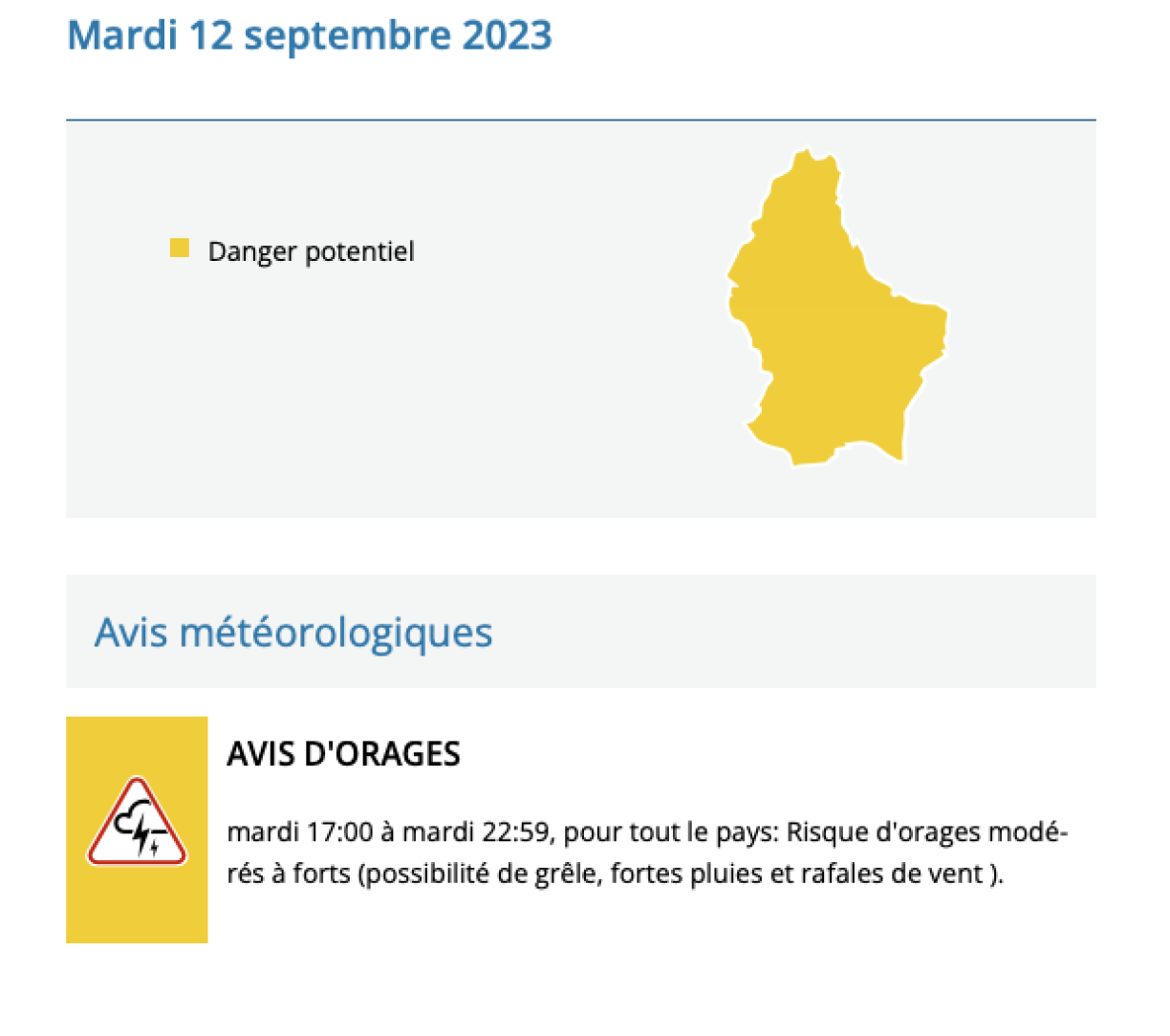
Météolux has raised the alert level to orange, in effect from 5pm to 10pm on Tuesday, signalling the likelihood of "severe" thunderstorms. Luxembourg's national weather service advises residents to prepare for the possibility of hailstones reaching sizes of up to 1 cm and "heavy rain" that could result in precipitation of up to 35 litres of water per square meter within one hour. In addition, Météolux forecasts "very strong gusts of wind" sweeping across the country, with speeds reaching up to 80 km/h.
Initially, the national weather service issued a yellow alert on Tuesday morning, which was subsequently upgraded to an orange alert later in the afternoon.
Motorists are advised to take precautions, and motorcyclists are encouraged to delay their rides for a few days, as clearer weather is anticipated from Thursday onward.
For those engaging in weather-dependent outdoor activities, vigilance is recommended. In addition, residents are advised to secure loose objects on their terraces or in their gardens, considering the potential for strong winds.
Temperatures in the afternoon are not expected to exceed 26°C. The week ahead is projected to be cooler and cloudier but without further thunderstorm activity.


Residents living near the border should be aware that neighbouring countries may also experience the impact of this storm front.
In France, thunderstorms started in the western regions on Monday and are expected to move eastward, resulting in a yellow alert for the entire Lorraine region on Tuesday. MétéoFrance could update its alert level at around 4pm.
Belgium's Royal Meteorological Institute forecasts a cloudy start to Tuesday, with potential showers and thunderstorms affecting the southeastern part of the country, originating from France, in the afternoon. The provinces of Liège and Luxembourg are both under yellow alert.


