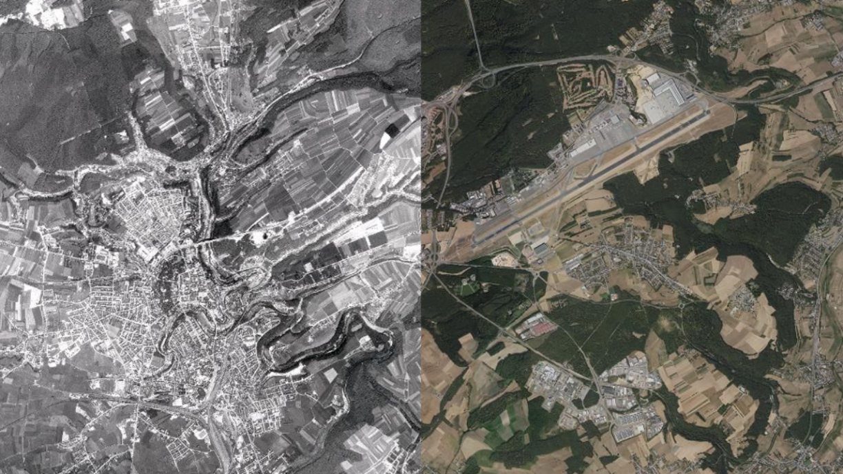
With a ground resolution of 50 cm, viewers can now observe the country's development from 1967 to the present day. The image was crafted using 451 archived aerial photographs captured during a high-altitude flight over Luxembourg.
This comprehensive aerial survey, conducted on 12 July 1967 by Aero Exploration GmbH at a scale of 1:40,000, was originally intended for motorway planning purposes.
Following the digitisation of negatives and georeferencing of images, geometrical correction, also called "orthorectification," was performed using elevation data from the digital terrain model of the Land Registry and Topography Administration.
The fruits of this labour are now accessible on geoportail.lu, the national portal dedicated to providing geographical data, operated by the Land Registry and Topography Administration.


