A new citizen science project is inviting people in Luxembourg to help archaeologists identify hidden sites by analysing LiDAR images, a technology that can reveal traces of the past even beneath wooded areas.
Many archaeological treasures are not kept in museums, but remain hidden underground. With the help of new technologies and support from the public, the Luxembourg National Institute for Archaeological Research (INRA), wants to better identify these traces of the past.
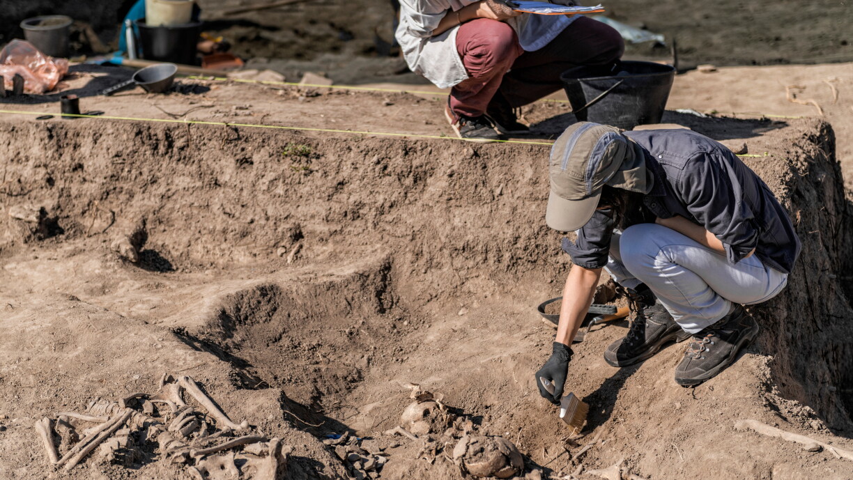
Today, archaeological discoveries no longer necessarily require going out into the field. As professional archaeologists cannot analyse every square metre of the country, they are turning to the public for support.
Heritage Quest is an international research project that allows anyone to search for archaeological sites on their computer or smartphone. In principle, anyone can take part.
No prior knowledge of archaeology is needed, explained Maxime Brami, professor at Johannes Gutenberg University Mainz. He noted that the platform itself includes explanations and images to help users understand exactly what they are looking for, and is very easy to use.
The aim of the project, he said, is to discover new sites and also protect those already known in Luxembourg's wooded areas.
This is made possible by LiDAR (Light Detection and Ranging), a technology that sends laser pulses from an aircraft or drone down to the ground in order to measure distances. The reflected signals then produce a detailed 3D map made up of countless points, explained Professor Brami.
He added that these images are available for the whole of Luxembourg through the national portal. Brami noted that the images make it possible to see very precise changes in terrain elevation, including in heavily wooded areas, because LiDAR images are created using laser pulses that pass through tree leaves.
This allows hidden structures to be identified, including sites that have never been discovered before, according to Brami.


Brami explained further that the chances of finding previously unknown archaeological traces are surprisingly high. In the Netherlands, where the research project was developed, members of the public have already used the same platform to identify thousands of new archaeological sites.
The launch of the Heritage Quest Luxembourg project also marked the beginning of the European Archaeology Days, giving the public until Friday, 19 June to take part in 15 events across the country focused on archaeological research and cultural heritage, according to Culture Minister Eric Thill.
Thill explained that the programme has been planned with the INRA, museums, associations, municipalities, and above all many committed volunteers. At various locations, they will open sites to the public, offer guided tours and workshops, share stories from history, and show objects they have found themselves, he noted.
The aim, Thill said, is to highlight the work of archaeology and strengthen access to culture, with archaeology in Luxembourg taking centre stage.
The European Archaeology Days are organised every year at the same time in many European countries and aim to promote exchange between researchers and the public. Internationally, the initiative is being held for the 15th time this year and now brings together more than 30 European countries.
For Luxembourg, this is only the second edition.
The Heritage Quest Luxembourg project is expected to run over the next three years. However, those interested can already begin analysing the images themselves via an online platform.


