Ex-hurricane Kirk is moving toward our region from the Atlantic, bringing heavy rain and strong winds.
During this warning period, continuous rain is expected across the whole country, with totals likely between 40 and 60 l/m², and possibly up to 70 l/m² in some areas. The majority of the rainfall is anticipated from midday on Wednesday through Thursday night.
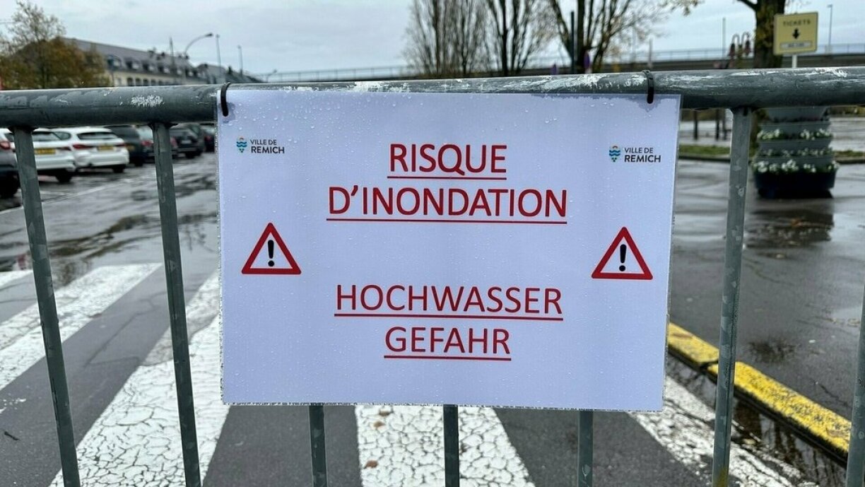
Additionally, a flood warning will be in effect from 4pm on Wednesday until 11.59pm on Thursday. Heavy flooding may occur, even in areas that are typically resistant. This poses a risk to the safety of individuals and property. For more information, visit www.inondations.lu.
Concerned areas where the risk of flooding is significant are: Attert, Eisch, Mersch, Ettelbruck, Diekirch, Bollendorf, Hesperange, Pfaffenthal and Steinsel.
The flood forecasting service is on alert as heavy rainfall is expected to cause river water levels to rise from midday. Gauging stations are likely to exceed their thresholds by Wednesday night.
The orange warning could result in flooding across the country, particularly in areas identified on hazard maps. Consequently, there could be difficult driving conditions for the duration of the weather warning.
Motorists are advised to avoid submerged roads due to the risk of aquaplaning and to respect any diversions put in place.
Residents in flood zones should secure their belongings where possible and close any windows on floors which are prone to flooding. Sandbags are advised where necessary.
Ex-hurricane Kirk likely to pass over Luxembourg, bringing rain and wind


