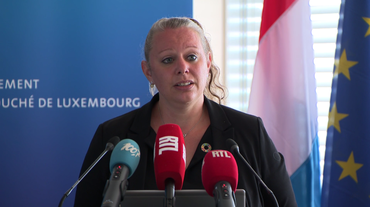
Last week's floods constituted the worst the country has seen in a hundred years, said minister Carole Dieschbourg during Monday's update before the press.
15 of Luxembourg's 41 measuring stations recorded historically high water levels never before seen in the Grand Duchy on Thursday, following the exceptional amount of rainfall last week. 10 stations recorded the highest water levels in a century.
105.7 litres per square metre of rainfall was measured at one station in Luxembourg, while many other places across the region experienced up to 100 litres of rainfall over 24 hours on 14/15 July.
Effectively, last week's phenomenon constituted a winter flood in summer, defying all predictions. The water was unable to flow away effectively from the sodden ground, causing it to mount up and flood people's homes.
Christine Bastian of the Water Management Authority explained their forecasting models had been at odds at the start of the week, with some predicting heavy rain, while others did not. In spite of this discrepancy, the authorities issued an alert as early as Tuesday with regard to potential floods.
The pre-alert phase was launched on Wednesday at midday, followed by a full alert phase from 5pm. Bastian explained a crisis unit had been set up on Wednesday evening.
By Thursday, the country had been placed on red alert, which lasted for some 30 hours - an unusual occurrence in itself. This was not retracted until Friday, as water levels remained high in some areas. By Saturday, the flooding had largely subsided.
When questioned on the country's preparation for such events, Dieschbourg said a flood prevention plan was under consultation following its presentation on 24 June. She added that it was to be expected that such severe weather events would continue to take place in future, attributing this to climate change based on events from the last few years. The Nature Pact, which will reward municipalities based on their commitment to environmental protection, received the green light from MPs on Wednesday 14 June.
Flood maps in Luxembourg were updated in 2019, while heavy rain hazard maps were published in May 2021. More information can found at inondations.lu and geoportail.lu with further maps. The GouvAlert app is also undergoing amendments to improve its accuracy.
Both Dieschbourg and Bastian highlighted the unexpected volume of rain which led to last week's floods. Dieschbourg said many municipalities, including Echternach, had invested in flood management after severe flooding in 1993. However, while these tools were sufficient for average levels of floodwater, last week's rainfall had been both quick and voluminous, rapidly overwhelming the usual markers.
Dieschbourg said people living in known flood zones would have been prepared for a normal flood; however, last week's rainfall saw flooding across the whole of the country, even in areas where it was uncommon.
Lintgen, Beaufort and Bissen still have issues with the water supply following a breakdown in the infiltration system. Residents are advised to avoid drinking tapwater until further notice.
Echternach, Rosport-Mompach and Moersdorf, some of the worst-affected areas, also experienced issues after generators failed. Technical teams have been onsite to carry out maintenance.
On a separate note, the municipal council of Mersch has issued a warning to motorists to avoid the town centre, where teams are still performing clean-up and maintenance duties.
Dieschbourg added that officials would be on the ground to help people in need and encouraged residents to get in touch.
As it happened - Carole Dieschbourg press conference 19.07.2021


