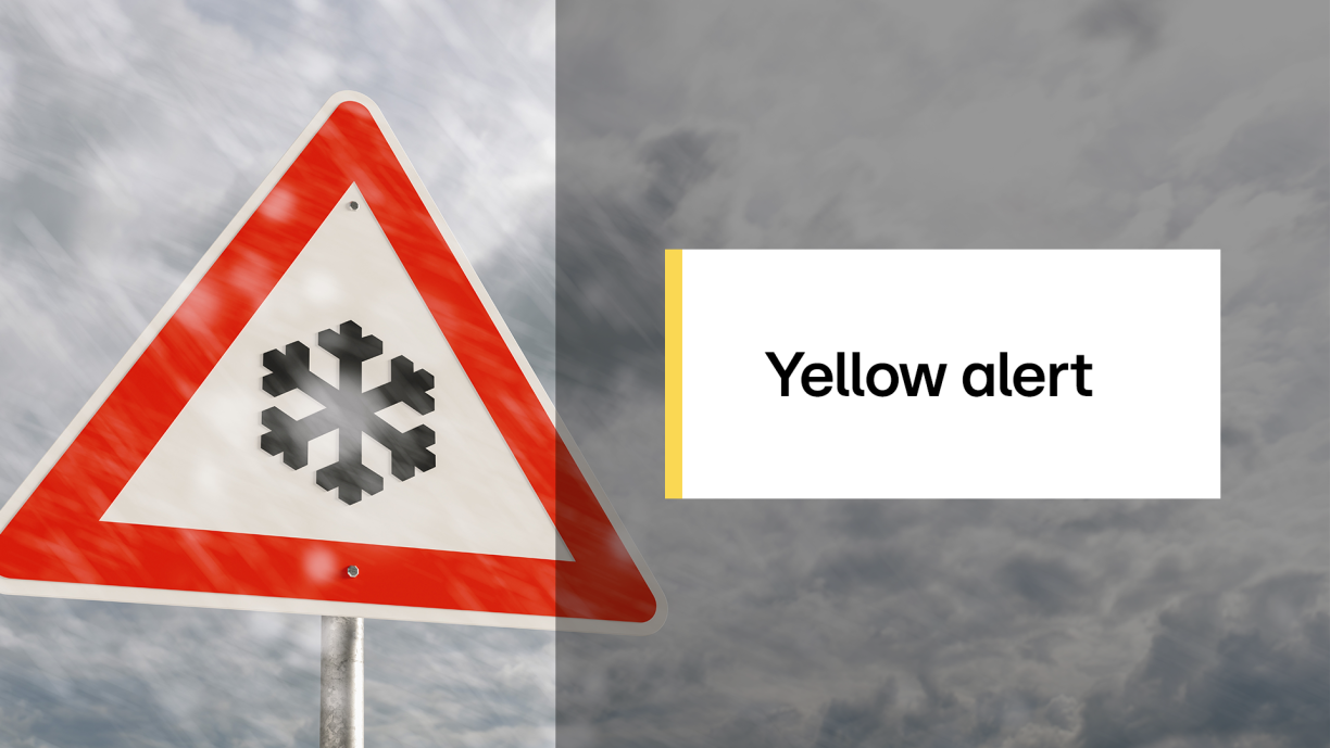
From 3pm on Sunday, a yellow weather alert will come into force due to the possibility of snow. According to the national weather service Meteolux, between 2 and 4 cm of snow are expected to fall across the country on average.
However, locally, and particularly on the higher ground of the Oesling region, accumulations could reach up to 7 cm. It is also possible that in some areas less snow will settle, or none at all. Temperatures are forecast to range from -4°C overnight to a maximum of 3°C during the day.
The weather forecast service Kachelmannwetter similarly anticipates a period of sustained snowfall during the afternoon, estimating that heavy snow could fall for around three to four hours. The service further indicates that later in the evening the snow may turn to sleet or rain in some places.
For Monday, Kachelmannwetter forecasts "unsettled" conditions, with extensive cloud cover and only limited sunny spells. Showers are expected in the morning, turning to sleet in the afternoon, or even to snow in the Oesling region. Temperatures are not expected to rise above 5°C.
Similar conditions are forecast for Tuesday, with rain showers that may occasionally be mixed with snow and maximum temperatures around 6°C. On Wednesday, temperatures are currently expected to reach no more than 3°C, with scattered rain and sleet showers continuing.


