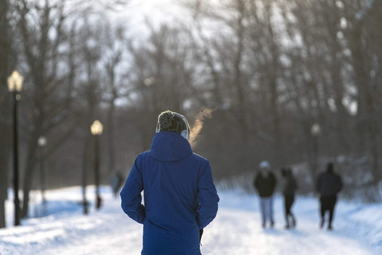
Meteorologists said Friday they were observing an unprecedented early disruption of the polar vortex, raising the risk of cold snaps across the Northern Hemisphere, though there remains significant uncertainty.
The polar vortex is a vast region of cold, low-pressure air that normally circulates from west to east high above the Arctic.
It generally strengthens through autumn and peaks around January. It can weaken in the second half of winter, typically between January and March, sending bitterly cold air spilling south into Europe, North America and Asia.
But scientists say the vortex is already weakening in early November.
"As far as we know, this is the earliest stratospheric vortex disruption that has been observed," European Centre for Medium-Range Weather Forecast (ECMWF) principal scientists Tim Stockdale and Frederic Vitart told AFP.
Judah Cohen, a climatologist at MIT, explained that the vortex is disrupted from below. Large atmospheric waves in the lower layer of the atmosphere, the troposphere, known as Rossby waves, can surge upward, and a big enough surge into the polar stratosphere triggers a rapid warming known as sudden stratospheric warming (SSW).
This weakens or even reverses the vortex's west-to-east winds, which can split it apart and cause it to spill southward.
"That really increases the chance of cold air outbreaks across the latitudes where most of the densely populated population centers are across the northern hemisphere, US, Europe and East Asia," Cohen told AFP.
Grahame Madge, a spokesperson for Britain's Met Office, told AFP: "This is very early, and possibly that earliness is triggered by the amplitude of the El Nino event in the Pacific."
This year's El Nino, a pattern of warmer-than-normal sea surface temperatures in the equatorial Pacific that has ripple effects through the atmosphere, is exceptionally strong and could be amplifying those waves.
Stockdale and Vitart said they did not know why the disruption came so early, but agreed the El Nino "could have been a factor in making it more likely."
But Cohen was more circumspect, explaining the current disruption appeared more linked to a record-breaking high-pressure system over Scandinavia and northwestern Russia, which are more favored in La Nina years.
The polarvortex.earth dashboard, which visualizes ECMWF modeling, currently shows a full breakdown of the vortex -- when the westerly winds turn easterly -- by November 20.
A november SSW has happened only three times in records dating back to the 1950s -- 1958, 1968 and 2025 -- all on November 28.
France's Meteo-France agency told AFP the current disruption is "an unprecedented event."
How severe any cold snaps will be is far from clear.
Because the disruption is coming so early, air temperatures in "places like Siberia or over the Arctic are not as cold yet as they will be" which could make outbreaks less "severe," said Madge, who called the event "exceptional" but "not necessarily worrying."
El Nino, which tends to bring milder winters, could also help. Cohen said it could "moderate or modify" the impacts, but said this remained uncertain.
"At this stage, the potential consequences for France remain highly uncertain," said Meteo-France. "They will depend on how the disruption evolves, its positioning, and whether or not it propagates down to the lower layers of the atmosphere."
Cohen said climate change could be playing a role, though he stressed this was speculation and no research has yet confirmed the link.
Rapid sea ice loss around Scandinavia is warming that region, while more snow in East Asia is cooling it, he said. That could be sharpening the temperature contrast across Eurasia, which in turn would amplify Rossby waves and making the polar vortex more likely to be disrupted.
burs-ia/sms


